Marking birds is a method used to track movements and determine patterns. Various methods are used depending on the species, the questions to be answered, the budget, and the available technology.
Technology is getting ever smarter, and smaller, and more cost effective. Satellite transmitters are now small enough to attach to birds, allowing movements to be remotely tracked and solar panels can now charge tiny batteries so that transmitters last longer.
Tiny mobile phone systems (Global System for Mobile communications, GSM) can now use the mobile phone network to transmit location (GPS) information from the tag to the end user. These systems send location data via text messaging systems. If the transmitter does not have network coverage it can log several thousand of data points and send them when it does come into an area with mobile network coverage. The units produce GPS coordinates, altitude, temperature and other data.
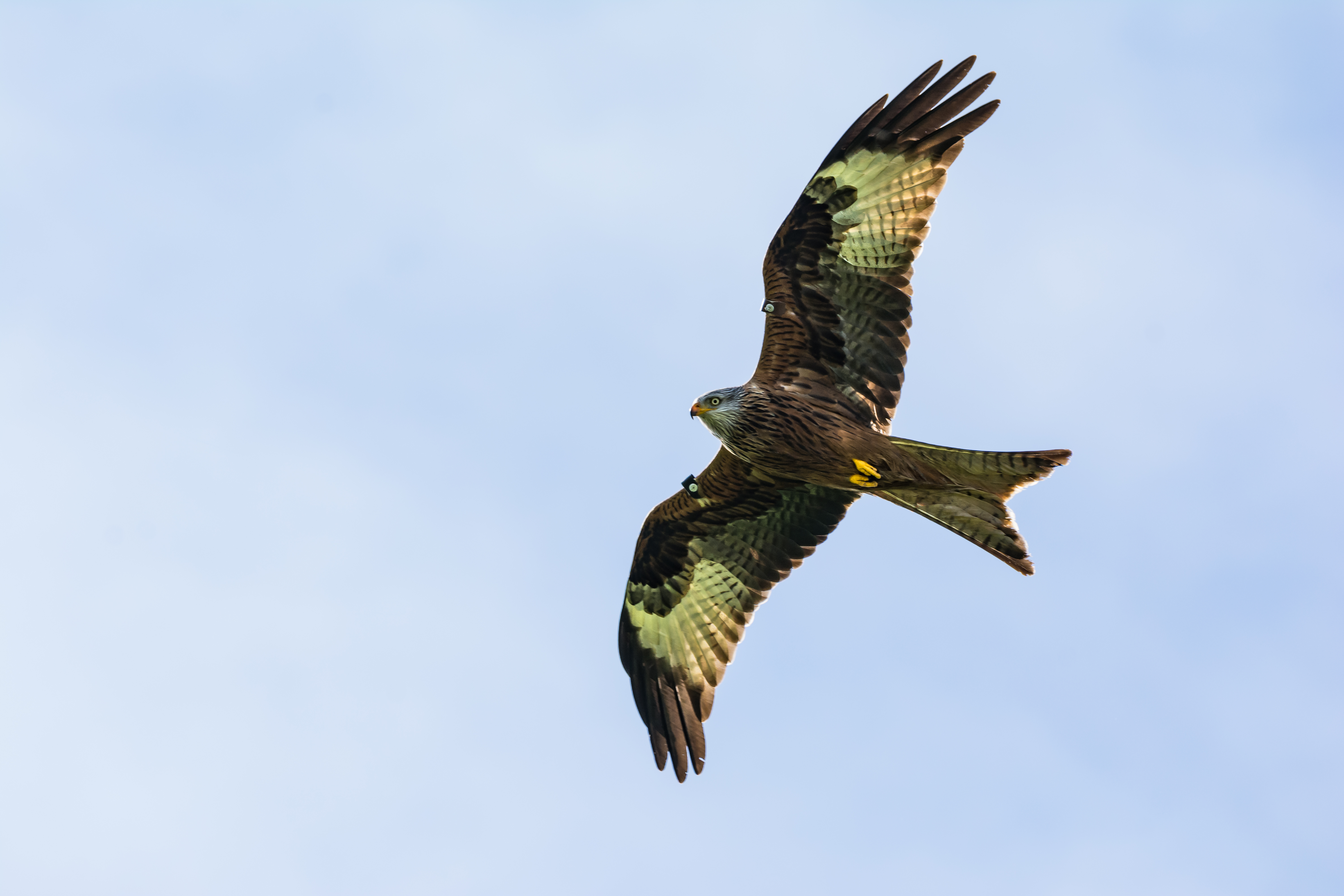
We will be using GSM-GPS devices, weighing less than 3% of the birds’ body weight, to track birds of prey which are commonly the victims of raptor persecution in Northern Ireland (see published persecution reports HERE), in the Raptor-Track part of the Hawk-Eyes project. These devices will allow us to effectively have ‘eyes in the skies’ allowing us to remotely identify areas and times of activity such as foraging, perching and roosting locations.
We have been working on sorting out licensing and equipment for this project which had to be specially manufactured for this project. We are working with a range of experts on the project to attach these tags to raptors and all work is carried out under special licences from NIEA and the British Trust for Ornithology (BTO), who licence the expert team involved in the deployment of the specialist equipment.
We will be uploading updates on the deployment of these tags, followed by updates on the locations of the birds, on the ‘Raptor-Track’ blog.
Recent reports (HERE and HERE) produced by experts have found a variety of linkages related to the suspicious disappearance of tagged golden eagles and hen harriers, which shows the utility of this type of technology in monitoring survival and land-use, and the patterns of locations of vulnerable raptors.
For more information on how this technology is being used to understand raptor behaviour and ecology, and help to protect these birds, why not check out the following links;
RSPB Satellite Tracking Birds
Golden eagle (Here and Here)
Hen harrier (Here and Here)
Honey buzzard
Black kite
Eleonora’s falcon
